Land surveying and geomatics instruments are essential for accurately measuring, mapping, and analyzing geographic data used in construction, engineering, infrastructure development, and environmental management.
These tools support critical tasks such as boundary determination, topographic mapping, and spatial data collection, ensuring precise positioning and reliable project planning. Geomatics combines traditional surveying techniques with advanced technologies—including GPS/GNSS systems, laser measurement devices, and data processing software—to capture, analyze, and visualize geospatial information with high accuracy. Widely used by surveyors, engineers, and geospatial professionals, this category includes equipment such as total stations, distance meters, levels, and field data collectors designed for both fieldwork and office analysis.
-
Humboldt Aluminum Tripod for Leveling and Survey Equipment in Construction and Geotechnical Applications (LE767710-0)
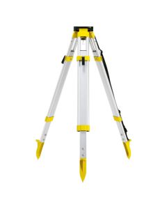 $USD 96.00Leica Geosystems - LE767710-0
 -
TRI100 Adjustable Tripod with Tilting Head for Field Measurement and Equipment Setup
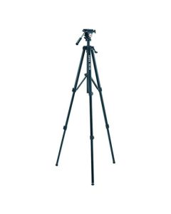 $USD 101.00Leica Geosystems - TRI100
 -
Leica Laser Distance Meter for Accurate Indoor and Outdoor Measurement (Model LE844692-0)
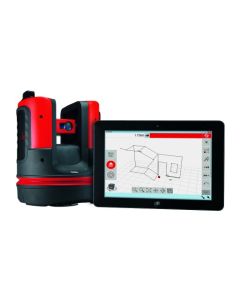 $USD 7,249.00Leica Geosystems - LE844692-0Ideal for education, forestry, forensics, environmental and soil sciences, construction, landscaping, health, geology, archaeology, and more